Columbia River Gorge
📍 Columbia River Gorge, OR
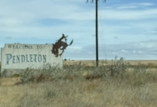
Day 34 — the end is near! Pioneers (and Caravans) are almost to the end point. As we leave town, we see the welcome sign. A little backward but, there you go. We bypass town this time and get on the road to the Columbia Gorge.
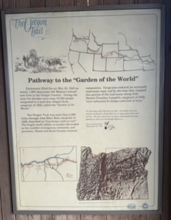
Pathway to the “Garden of the World”
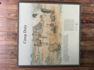
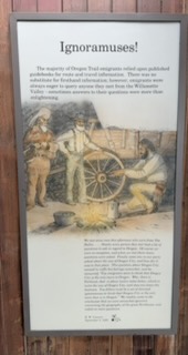
The first rest stop has info on the place we are leaving, the Plateau. The name comes from an emigrant, Abigail Scott, who coined it in 1852: “Garden of the World.” The land eroded as the emigrants drove their wagons over the same areas over and over again. Up to this point, emigrants had endured a long way but had more road ahead of them.
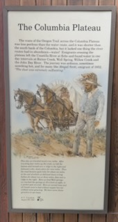
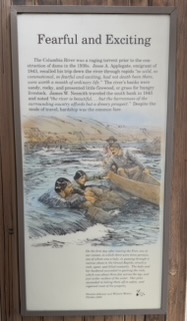
Below are the rest of the descriptors of life on the road.
On I-84
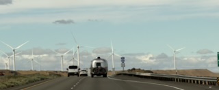
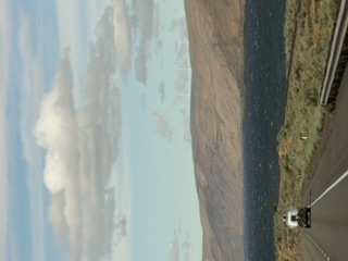
One of the best sights! We turned onto I-84 and see the Columbia River. We were following one of our group and got these photos.
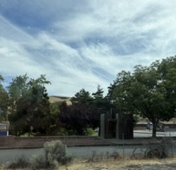
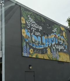
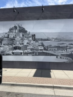
We drove through Arlington, caught sight of another historical sign and a mural.
If you search for the best places to kite surf in the USA, the top ten read: Oahu, Cape Hatteras, South Padre Island, Columbia River Gorge, San Francisco, Corpus Christi, Key West, The Jersey Shore. And there they are!
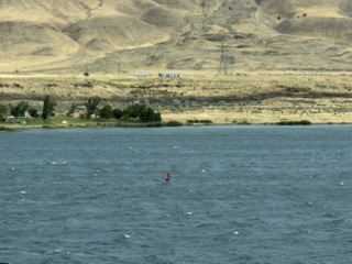
And we don’t see any of these in the middle of the USA. I am happy to see this large river again. I love the PNW.
Hood River
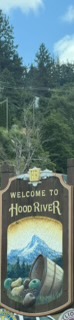
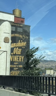
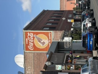
Hood River! The breweries! I haven’t been here in a while so this is a big change. And good to see a flourishing town.
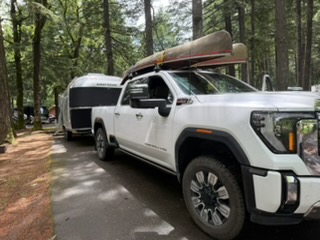
KOA Cascade Locks
Our spot for the next two nights — KOA Cascade Locks. It’s shady and cool. Very cool. Layering up!
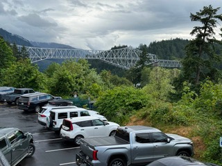
Dinner at Thunder Island Brewery
Dinner at Thunder Island Brewery. Our view is Bridge of the Gods. This is a 1,858-foot steel-truss bridge which spans the Columbia River. It was originally built in 1926. It derives its name from a much larger Bridge of the Gods that covered a part of the Columbia River in about 1450 AD. This “bridge” was a blockage caused by the Bonneville Landslide, which headed on the southern escarpment of the 3,417-foot-high Table Mountain on the Washington side of the river and cascaded downward filling the Columbia River valley with more than five square miles of debris up to 400 feet thick.
The Bonneville Landslide almost certainly gave rise to the Klickitat legend of the Bridge of the Gods. Oral tradition about the bridge tells how people “could cross the river without getting their feet wet.” Reportedly, “the river was dammed up at this place, which caused the waters to rise to a great height far above and that after cutting a passage through the impending mass down to its present bed, these rapids first made their appearance.”
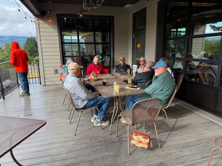
There was a small bar so we gathered outside with the heater on as we waited for tables to be ready. We had good beer and great food.
“To finish the moment, to find the journey’s end in every step of the road, to live the greatest number of good hours, is wisdom.”
— Ralph Waldo Emerson