Travel Day
📍 Central Wyoming — Independence Rock to Jeffrey City
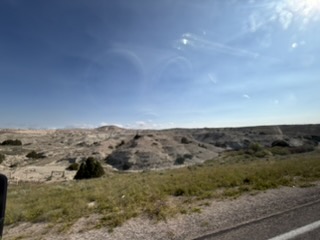
Early up and out of the campground. A list of 16 stops — well, we made it to 10 of them. Two were visited yesterday.
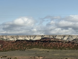
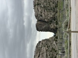
Those weren’t snowfields — they’re white rock bluffs. First thing you notice rolling into central Wyoming.
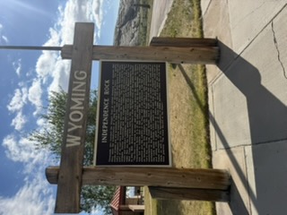
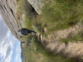
Independence Rock
The most important stop of the day. Pioneers found themselves at this point on the trail on July 4th — it’s the halfway point to the end of their migration. Thousands camped at the foot of this looming outcrop, and many carved their names and the date they arrived.
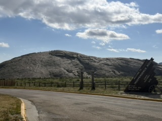
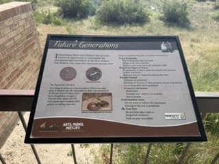
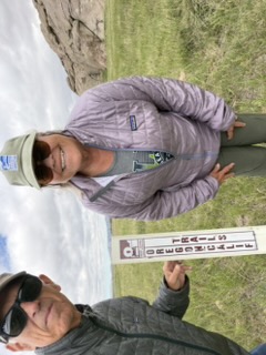
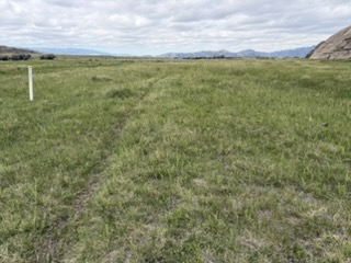
We walked around the rock and found some ruts on the other side, identified by white markers. Since cattle may roam the area, there are stiles which allow people to walk through.
The state of Wyoming maintains the area. We saw white markers for the Oregon Trail — and then actual ruts!
A Piece of Trail Life
Here’s a story. Sometimes the young children would be tasked with picking up buffalo “chips” along the trail to use as fuel for fires. One story is that they made aprons for the boys so they could collect more.
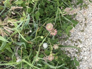
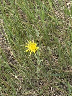
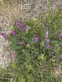
Wildflowers
From left to right: Alsike Clover heads (red clover), Tragopogon dubius (yellow salsify), Astragalus bisulcatus (two-grooved milk vetch).
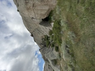
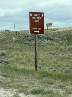
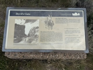
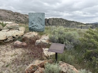
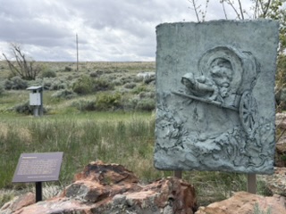
Devil’s Gate
The cleft in the rock was carved by the Sweetwater River. Pioneers wondered how water could do something like this — nothing like it existed east of the Missouri.
The Mormon Handcart Story
Emigrants of the Mormon faith were carving their own trail toward Zion — Salt Lake City. Missionaries from the church now act as docents for the museums dedicated to their trials. Coming from England, many people were drawn to cross the country using a handcart as a cheap way of carrying their belongings. A cart could weigh as much as 500 pounds, and they pushed and pulled it by people power.
Unfortunately, when they arrived to pick up their carts after sailing the Atlantic and riding a crowded train, a shortage of raw materials meant the carts weren’t ready. The immigrants had to assemble them themselves — most were not skilled in carpentry, so the carts often broke down on the trail.
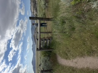
At Tom Sun Ranch, a “Prairie Walk” was dedicated to some of the hazards the pioneers encountered.
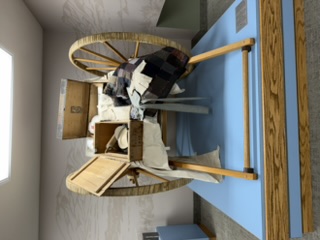
One of the replica handcarts (left) at the Tom Sun Ranch Prairie Walk.
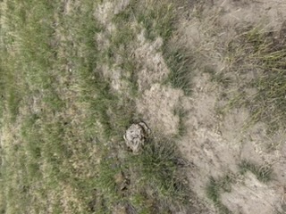
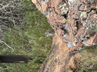
This little guy was not scared of us at all — he sat on his rock nibbling grass blades.
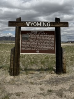
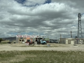
Jeffrey City
On our way to the next stop, we drove through a town called Jeffrey City. It grew the way Eureka did when gold was found — except here it was uranium they mined.
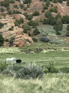
Snow Fences — and Wild Horses
This was something I hadn’t seen before. Any guesses?
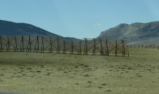
(Those were snow fences — built to control drifts and keep the roads clear in winter.)
There was a sign saying wild horses still roamed here. I’m not sure if these are wild, but they were certainly not in a small corral by the barn.
“The best journeys in life are those that answer questions you never thought to ask.”
— Rich Ridgeway